- by foxnews
- 25 Nov 2024
Cyclone Seth: dangerous surf and ?astronomical? high tides expected for south-east Queensland
Cyclone Seth: dangerous surf and ‘astronomical’ high tides expected for south-east Queensland
- by theguardian
- 02 Jan 2022
- in news

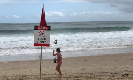
Tropical Cyclone Seth is expected to trigger dangerous surf and abnormally high tides as it begins to head south off the Queensland coast.
The category one system was about 630km east northeast of Hervey Bay and 720km northeast of Brisbane, the Bureau of Meteorology said early Sunday morning.
It was moving south southeast at 29km/h.
Although maintaining its intensity, Seth is forecast to slow and shift south-west on Sunday afternoon.
While unlikely to directly impact the coastline over the following 48 hours, the BoM said the cyclone would cause dangerous surf and abnormally high tides about the south-east Queensland and north-east NSW coastlines from Sunday.
Severe weather warnings are current for both regions.
The bureau says Seth should weaken as it transitions into a sub-tropical system on Monday.
"Movement beyond this time becomes uncertain," it said.
"However there is a general indication that it will drift westward closer to or over the Australian coast during next week."
Assistant police commissioner Shane Chelepy says like all cyclones, Seth was unpredictable and being monitored closely.
"What we are expecting to see is very high tides on the coast in our low-lying areas, potentially some flooding as a result of those high tides, and some severe weather action on the coast with respect to waves and damaging surf," he told reporters in Brisbane on Sunday.
"It is really important that anybody going to the coast today and over the next couple of days is very mindful that there will be significant surf on the coast, damaging waves, and some very high tides which will cause rips along the coast and some local flooding."
Seth was downgraded from category two to a category one on Saturday.
Meteorologist Helen Reid told AAP indications were that it would only be a tropical cyclone for another day or two and that if it crossed the coast it would not be as a tropical cyclone.
A strong wind warning was issued from Mackay to Sunshine Coast on Saturday, with gales expected to affect the south-east by Sunday after gusts of more than 100km/h off the coast on Friday night.
BoM also issued a severe weather warning from Wide Bay to the south-east coast with high tides expected to reach an "astronomical peak" over the next few days, easing on Wednesday.
Areas that may be affected include Gold Coast, Maroochydore, Coolangatta, Moreton Island, Noosa Heads, Caloundra, North Stradbroke Island, Rainbow Beach and Redcliffe.
Gold Coast mayor, Tom Tate, said authorities were doing some modelling on Saturday to see what impact the expected high tide would have on low lying areas.
The area was expected to be hit on Sunday with waves of up to four metres.
Wild conditions forced Surf Life Saving Queensland to close 14 beaches on the Sunshine Coast on Saturday afternoon.
- by foxnews
- descember 09, 2016
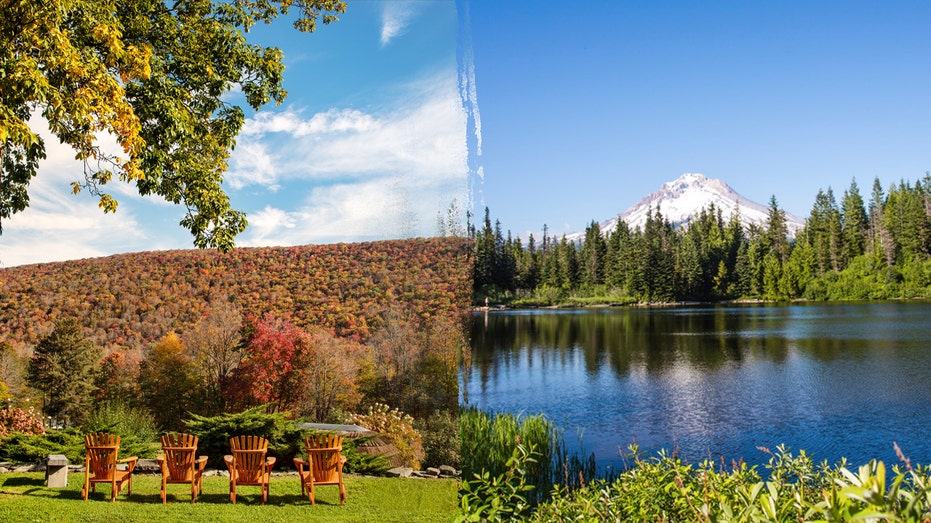
'Quiet travel' is having a moment; here are top US spots where you can embrace the trend
Here are 10 destinations for "quiet travel" in the U.S. to check out if you're ready to unplug and unwind on your next vacation. From Maine to Florida, Oregon and more, see the list.
read more


