- by foxnews
- 08 Apr 2025
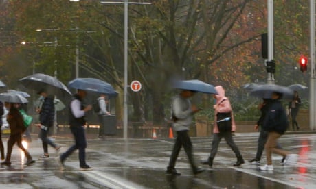
‘Rain bursts’ over Sydney have intensified 40% over last two decades, research finds
‘Rain bursts’ over Sydney have intensified 40% over last two decades, research finds
- by theguardian
- 11 Nov 2022
- in news

Rapid rain bursts over the greater Sydney region have intensified by at least 40% over the last two decades, new research shows.
Analysis of weather radar data by scientists at the ARC Centre of Excellence for Climate Extremes suggests that the intensity of rain bursts - extreme downpours that occur for a period of about 10 minutes - rose significantly between 1997 and 2018.
If the trend continues, it could pose challenges to Sydney's preparedness for future flash flooding, the researchers suggest.
The scientists measured rainfall using data from three overlapping ground-based radars at Newcastle, Terrey Hills and Wollongong, which together cover the greater Sydney region.
The radars estimated the rainfall rate in millimetres an hour, taking measurements every six to 10 minutes, the study's lead author, Dr Hooman Ayat of the University of Melbourne, said.
Also known as sub-hourly heavy rainfall, rapid rain bursts occur during the most intense part of storms and can increase the likelihood and severity of flash flooding, particularly in urban settings and steep mountainous regions.
"If this trend continues, we will have more-severe-than-expected flash floods in the future," Ayat said, adding that the rate of intensification was far greater than what was predicted with climate change. "At first we thought it was a problem with the data," he said.
In a warmer climate, the frequency and intensity of heavy rainfall events is expected to increase globally.
The cause of the intensification was unclear, said Prof Steven Sherwood of the University of New South Wales, who is one of the study's co-authors.
"There's a lot of evidence that climate change could push the systems in this direction, but this is maybe 10 times more than we would have expected just from climate change."
Extreme rainfall is defined by area, and the researchers considered rapid rain bursts to be instances of precipitation where the intensity was in the top 5% annually for a given location.
If the trend continued, it could necessitate changing the designs of buildings to equip them to withstand heavy rains, Sherwood said.
Weather radars measure precipitation by sending electromagnetic pulses into the atmosphere and measuring the amount of energy that returns when the pulses encounter water particles. Analysing longterm trends in rain bursts with weather radars is more temporally specific than using satellite data, which only takes images once or twice daily, Ayat said.
The approach is also more comprehensive than using networks of rain gauges, which "are often sparse and not able to capture these rapid rain bursts that happen at smaller scales, so they can be easily missed," he added.
The study was published in the journal Science.
"Even in places with little trend in daily rainfall extremes, there may still be increasing risks of flash floods due to the intensification of sub-hourly rainfall extremes," the authors found.
- by foxnews
- descember 09, 2016
Ancient settlement reveals remains of 1,800-year-old dog, baffling experts: 'Preserved quite well'
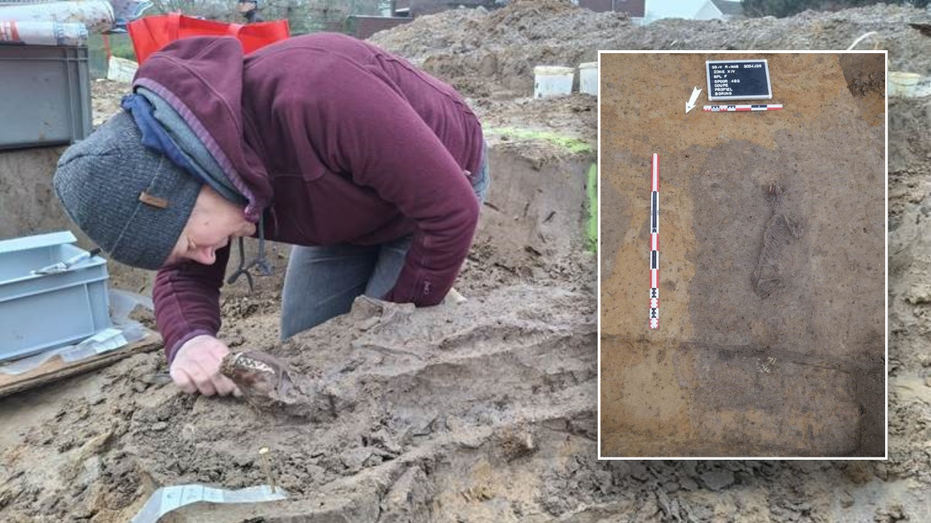
Archaeologists have recently unearthed the remarkably well-preserved remains of a dog from ancient Rome, shedding light on the widespread practice of ritual sacrifice in antiquity.
read more


